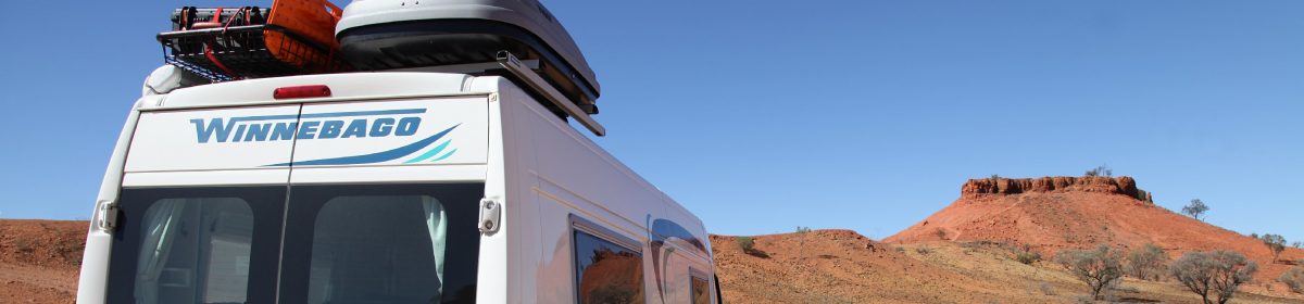
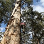
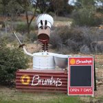
The council hoped the project would revitalise the town and now they say that 1 in 3 motorists stop to photograph the artwork. Five local children were chosen by Brisbane street artist Guido van Helten to feature on the grain silos.
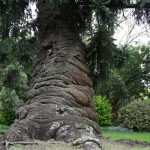
The little town of Penola
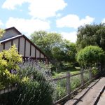
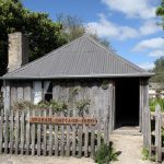
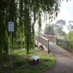
A walk down pretty Petticoat Lane where there are several National Trust cottages.
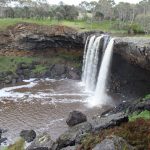
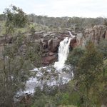
Waterfalls near Hamilton
Wannon Falls
Nigretta Falls
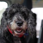
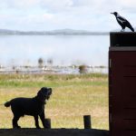
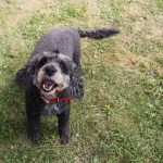
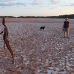
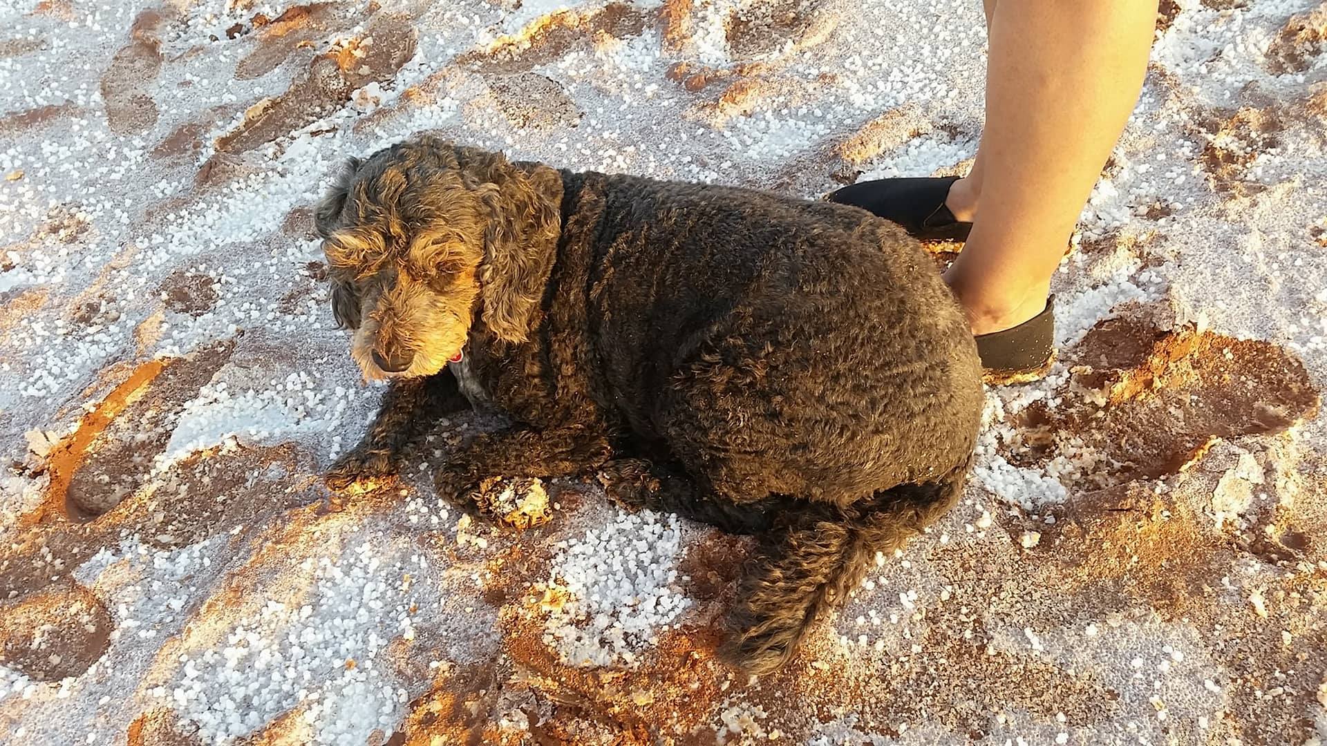
Wet dog
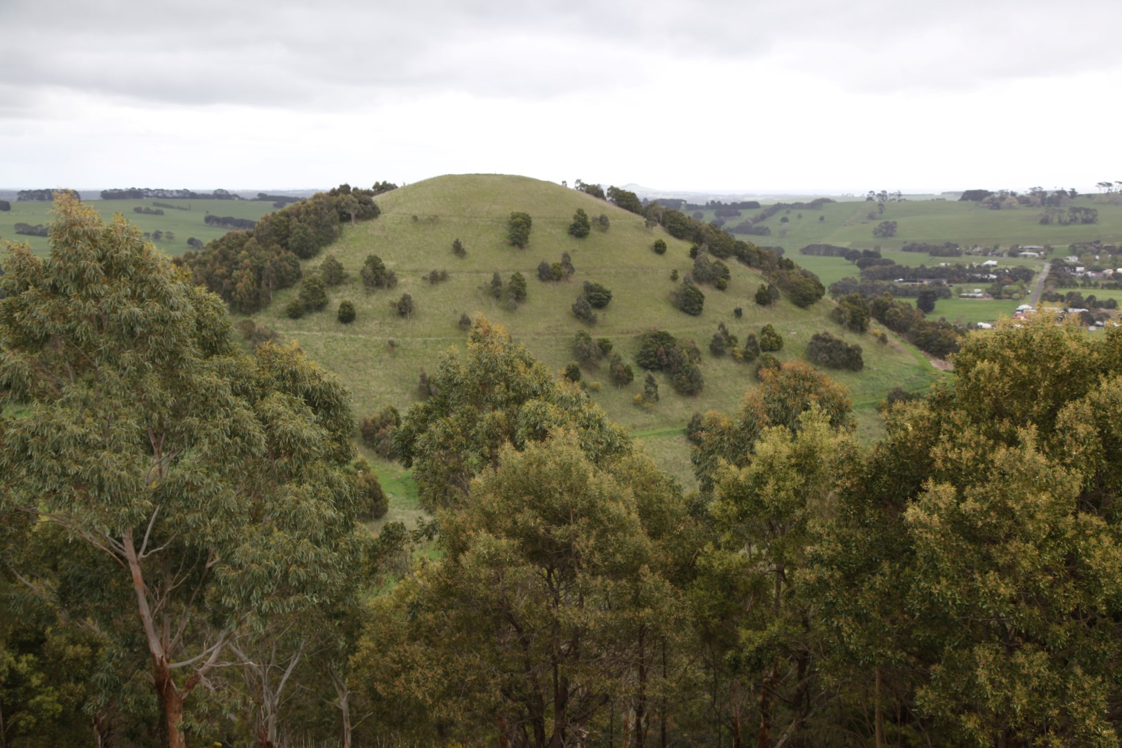
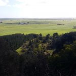
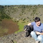
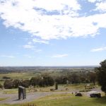
More volcanoes near Camperdown
Mt SugarloafMt Leura lookout
Mt Leura was a big hit as you could drive all the way to the top!
We wanted to go to the Volcanoes Discovery Centre at Penshurst but it’s only open at the weekend and in school holidays.
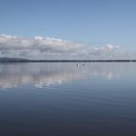
Lake Colac
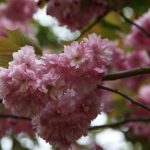
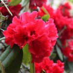
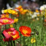
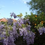
A real surprise. The Botanic Gardens are on the Victorian Heritage Register for their botanical significance.
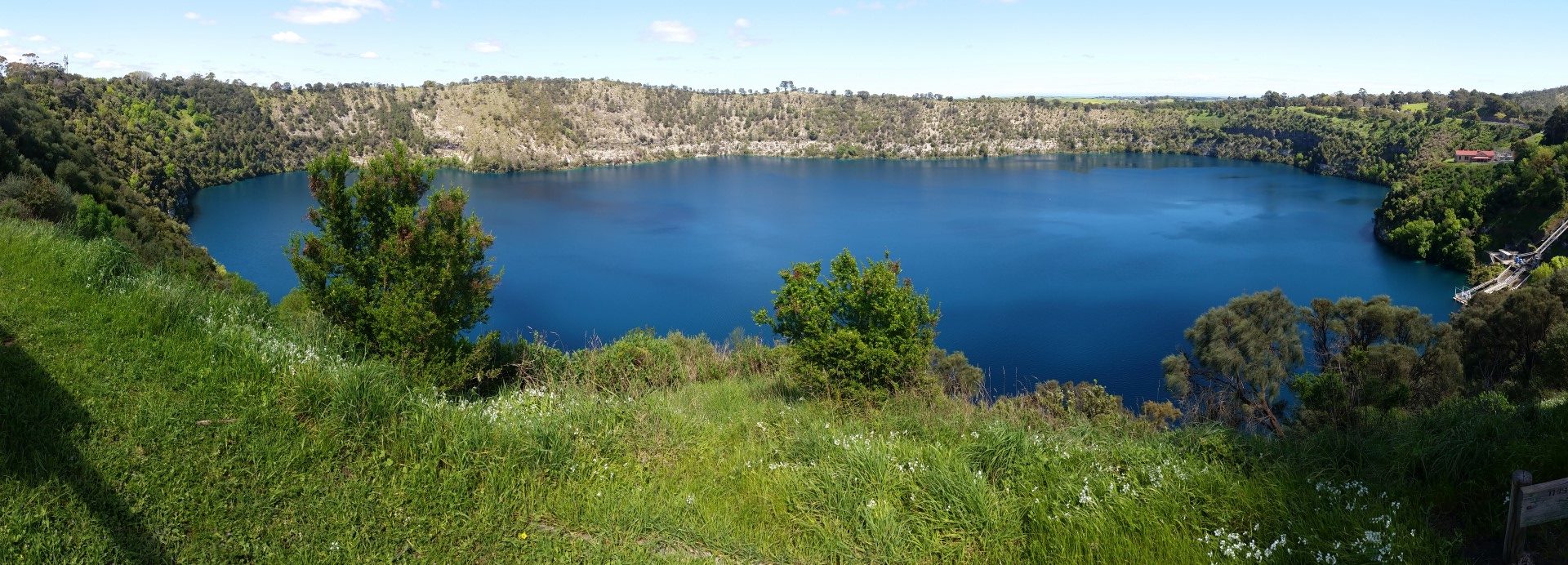
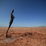
Mount Gambier is 450km SE of Adelaide and only 17 km from the SA/Victorian border. It’s well known for its volcanic and limestone features. We were looking forward to seeing the famous Blue Lake, which is an amazing brilliant blue colour and then found out it’s only blue during the summer months. The rest of the year it’s a steely grey colour. However, on a sunny October day, it still looked fairly impressive.
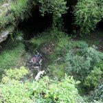
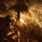
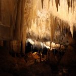
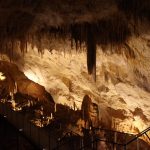
The Cave Gardens are in the town itself and the centrepiece is a 90ft cave. You can’t go down to the cave floor but there is a walkway and lookouts. Every night there is a free sound and light show in the cave. As a state heritage site, I think the council should really get the shopping trolley removed.
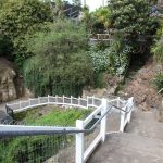
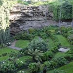
The Umpherston Sinkhole on the edge of town has been turned into a spectacular garden which you can walk down into.
The highlight of the area is Mt Schank, a 330ft (100m) high volcanic cone. It was a reasonably tiring 900m walk to the top along the steep limestone step walking trail but there are seats along the way with sweeping views. There is also a walking trail around the rim of the crater. Jonathan went down into the crater itself with his 360 camera.
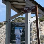
We also had an afternoon drive down to Port Macdonnell to stand at the southernmost point of South Australia and to see a Little Penguin colony. I might have mentioned before that Little Penguins used to be called Fairy Penguins but had their name officially changed due to political correctness. Anyway, the name was academic as they had all packed their little penguin suitcases and left, probably due to an increase in local predators.
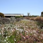
Five months ago to the day, we left Port Augusta on our journey North, through the Red Centre and up to Darwin. Now we were back to the start of the loop and we stopped for lunch at the Arid Lands Botanic Garden. We had last seen the gardens in Autumn so it was interesting to see the plants on flower in Spring.
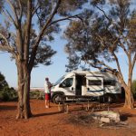
The van was booked in for a service in Adelaide on the Thursday. We decided to take a new road and drove down the very scenic but very bumpy Horrocks Highway. There were lots of camping options at the little towns along the way. We stopped at Wirrabara and were the only ones there on their sports oval. These places are always good for letting Winston have some freedom without the rules of the caravan parks. We also enjoyed a stopover in the very pretty town of Kapunda, just to the North of the Barossa.
As we sat outside on a warm sunny evening, we were sure we could hear blackbirds singing and sure enough there were quite a few in the trees. We hadn’t realised there were blackbirds in Australia.
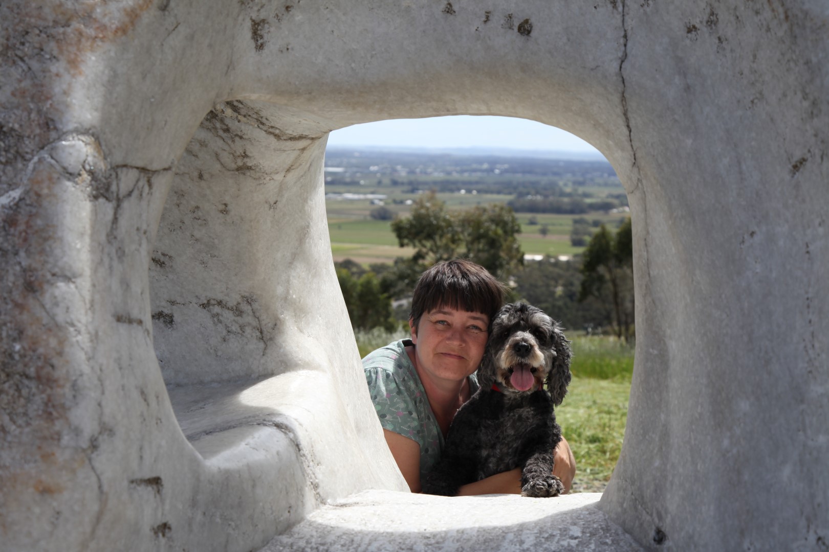
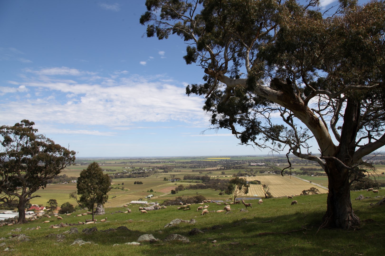
We drove up to Menglers Hill Lookout which has amazing views across the Barossa Valley. There is also a sculpture park at the lookout. Winston was in a particularly happy mood. I’m not sure whether it was the fact he’d been chasing rabbits at Kapunda or the freshly cut grass in the park.
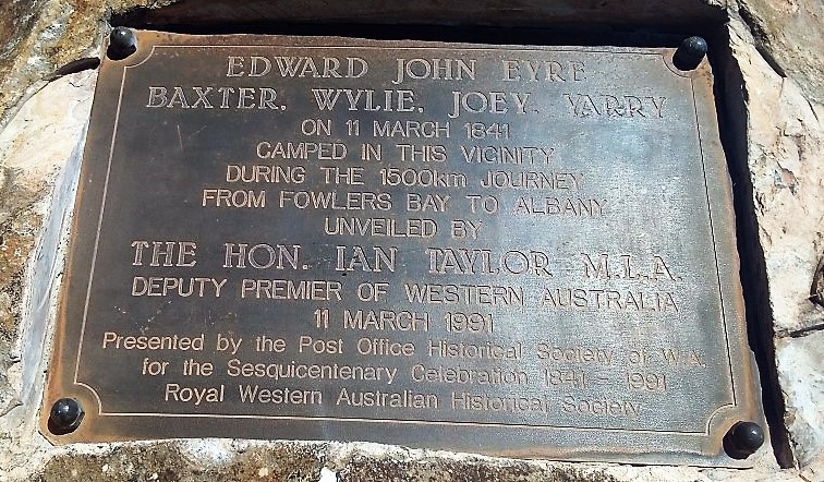
The Eyre Highway is named after Edward John Eyre, an English born explorer who was the first European to cross the Nullarbor Plain in 1840-41. There are various plaques commemorating his achievement along the way.
Tragically, just six weeks after they camped near this spot at Eucla; Joey and Yarry murdered Baxter, stole all the supplies and ran off. Eyre and Whylie only survived when they came across a French whaling ship near Esperance. Over 175 years later, it’s still pretty difficult to get supplies while travelling across the Nullarbor.
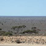
After a long featureless drive (the Nullarbor does mean ‘no trees’ after all), it was a surprise to reach the Madura Pass where there are spectacular views across the plains. Climbing on top of the van made for a better photo.
There is a news article at the museum in Eucla, written by a traveller driving across the Nullarbor in his Holden in August 1953 who stopped at Madura to refuel: “I boiled my billy in the skimpy shade of a sandalwood tree, chewed some chops and pushed on another 180 miles of monotony to Balladonia.” This could have been us, except we had cake. I can’t imagine what it must have been like driving all that way before the highway was sealed, let alone setting out into the unknown in the 1840s.
Jonathan was keen to stop at Mundrabilla as Australia’s biggest meteorite was discovered nearby, which weighed over 10 tonnes. There was no mention of it anywhere though.
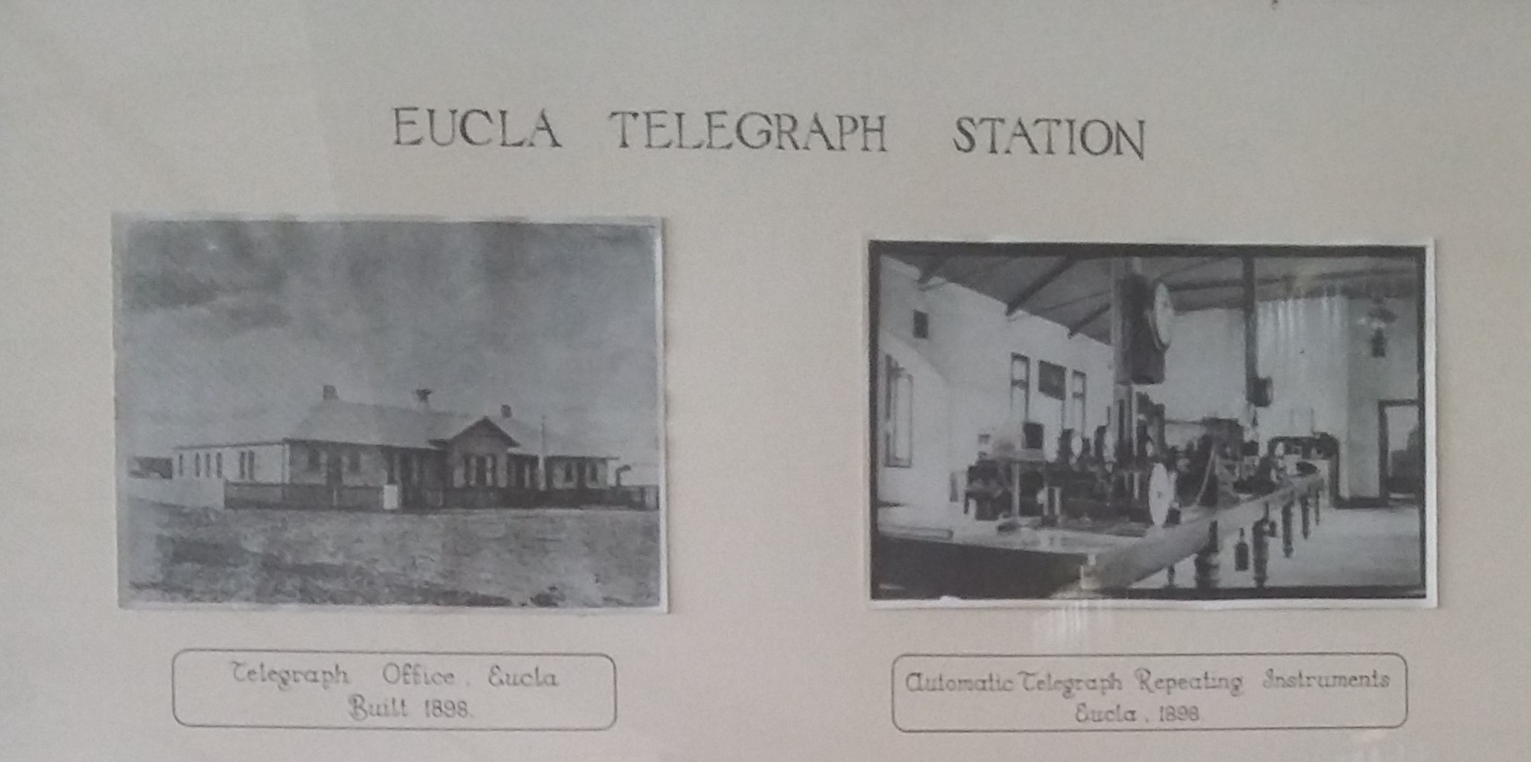
Night 3, we stopped at Eucla, which is 12km from the SA border, to spend our last night in WA We’ve been exploring WA for over 3 months which shows how big it is. The van park is high on the range and we camped up in a glorious spot overlooking the ocean and plains below. We soon had the chairs out and were enjoying the warm afternoon sun and views with a glass of wine.
Eucla Caravan Park
In the early 1900s, Eucla was a busy telegraph station. The first message sent to Perth on 8th December 1877 was ‘Eucla line opened. Hurrah’. The station now lies in ruins and buried in the sands.
Today, Eucla seems to have the best phone reception along the Nullarbor and we were able to have a long Skype chat with video to my sister and brother in law in the UK, with no connection issues at all.
Goodbye WA
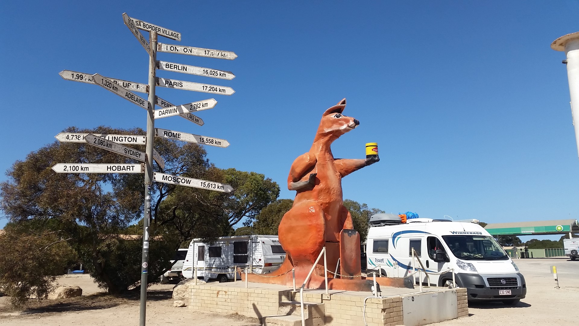
We were back in South Australia soon after setting off the next morning. If you’re travelling West, there’s a quarantine checkpoint here. A big kangaroo holding a jar of vegemite marks the border crossing.
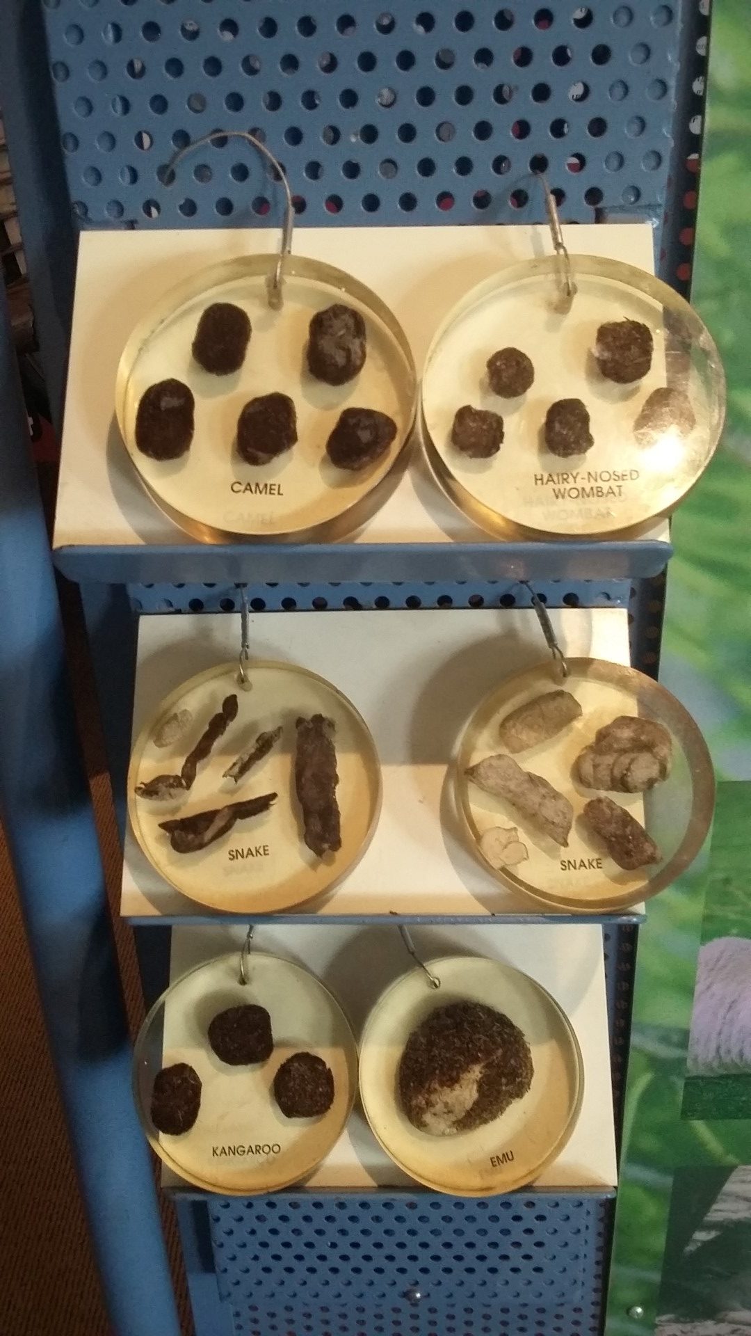
Only saw a few roadkill roosHandy poo recognition display Balladonia museum
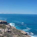
The Great Australian Bight
For the next 150km, the highway runs alongside the Great Australian Bight. There are four lookouts along this stretch. Number 2 made for a scenic morning tea stop.
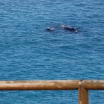
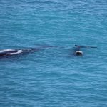
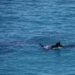
The Head of Bight is the best place to see Southern Right Whales between June and October. The females come into the sheltered waters to give birth and then spend some time there with their calves. The road down to the ‘interpretative centre’ is sealed. There is a $15 entry fee per adult to go through to the lookouts. We did see whales at the other lookouts, high up on the cliffs but this was worth it as the boardwalk takes you down the cliffs and there were five mothers with their calves close to shore.
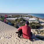
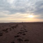
Fowler’s Bay
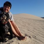
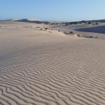
A little fishing village, south west of Ceduna which sounded the perfect place to spend a lazy day and plan the next stage of our trip. It was sunny and warm but the gusty winds blasted you with sand and made walking a bit challenging. It was fun walking amongst the dunes. Jonathan caught quite a haul of squid from the jetty.
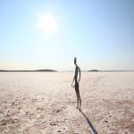
There always seems to be something tempting us a bit further off our planned route. We didn’t regret a trip out to Lake Ballard, a salt lake 51km West of the town of Menzies though. The Perth International Art Festival commissioned sculptor Antony Gormley to create the ‘Inside Australia’ art installation for their 50th anniversary in 2003.
He set up a 3D body scanner in Menzies Town Hall and managed to persuade 51 locals to strip naked in order to have their bodies ‘mapped’ by the scanner. It was one used by the film industry to create animation and special effects. He then used the images to create 51 metal figures which he set out across the huge salt lake. The names of all the residents are listed on the website at www.lakeballard.com
There is a free camping area beside the lake in a beautiful bushland setting with lots of wildflowers and there’s also plenty of shade. It was the most peaceful, relaxing campsite we’ve stayed at so far and we were the only ones there for most of the time. The only amenities are picnic benches, fire pits, rubbish bins, a long drop and a dump point. There’s no phone reception at the Lake.
Due to recent rains, the surface of the lake was slippery red mud and quite difficult to walk on. Some visitors had brought some $3 shoes with them specifically to wear out on the lake and leave behind for others. Luckily a pair fitted me which saved my shoes.
Jonathan was keeping his fingers crossed for clear night skies so he could take an astro photo. While the skies weren’t as good as they could be, he still took some impressive photos.
The council are in the process of sealing the road to the lake but the 30km of unsealed road was well graded and not an issue for the campervan. The only downside to the experience were the huge march flies which didn’t seem to be put off by insect repellent.
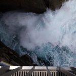
The Gap and the Natural Bridge demonstrate the power of the crashing waves of the Great Southern Ocean on the granite rocks.
A cantilevered lookout was recently completed which extends 10 metres out over The Gap. It probably wasn’t a good idea reading the information board about how challenging the lookout was to build due to the instability of the rocks, before walking out on to the lookout.
The Gap
The Natural Bridge is a short distance from The Gap.
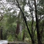
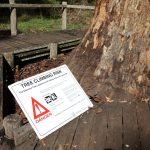
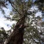
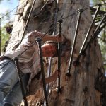
We continued South to Pemberton which is in the Southern Forests. The karri trees are easily recognisable as they are amazingly tall and have very few branches. The Diamond Tree was used as a bushfire lookout and is 52m high. I’m sure the steel ladder breaks every health and safety rule, although they say no-one has ever fallen but two people have died from heart attacks after climbing. It was a very cold day and the rungs were wet and slippy so we decided it probably wasn’t the best idea to go all the way up to the lookout.
Winston was relieved to see us back down safely
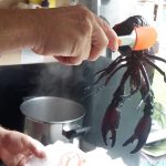
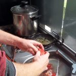
Although the trout fishing wasn’t successful, we did eat marron for the first time while we were in Pemberton. We bought a couple live from a marron farm and they were pretty feisty. We put them in the freezer for half an hour to slow them down and then put them in a pot of boiling water for about 10 minutes.
Dipped in garlic butter with some fresh bread, they were absolutely delicious.
Next we headed inland from Augusta along the Blackwood River Valley. Jonathan had discovered that the river is stocked with trout and the season starts on the 1st September. A lot of the town names end in -up: Nannup, Balingup, Palgarup, to name but a few. This led to us inventing a few new town names as we drove along. Manjimup was christened ‘sold a pup’ as we drove there for the famous farmers’ market on the first Saturday of the month only to find a handful of stalls.
The trout fishing wasn’t amazingly successful but there were plenty of pretty walking trails.
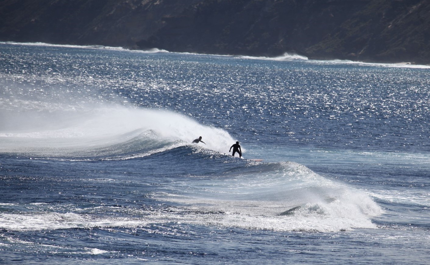
Caves Road is the scenic route to take through the Margaret River region, instead of the Bussel Highway. It’s narrow and twisty in parts but there are plenty of places to stop for a break along the way. We thought the Margaret River region was only famous for its wineries, breweries and artisan sellers, and most of these are along Caves Road. However the coastline is also popular with surfers. The surf breaks at Yallingup Beach were among the first ones surfed in WA in the early 1950s.
Yallingup surf breaks
The road winds through forests, dairy farms and vineyards. We had to stop at the Burch Family Wines cellar door, as Burch is a family name but they don’t have the Burch name on their wine bottles unfortunately.
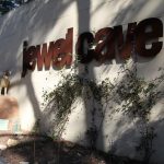
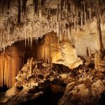
Caves Road runs the length of the limestone Leeuwin-Naturaliste ridge which is undercut by over 150 caves. Four of these are open to the public. We did the Jewel Cave tour, which is the largest cave. You can get a pass to visit more than one which works out a bit cheaper. Jewel Cave is spectacular. Warning though: there are a lot of stairs and narrow walkways. The tour guide turned out all the lights for a minute when we were deep into the cave and it was so dark, you couldn’t see your hand right in front of your face. There is a statue of the extinct Tasmanian Tiger at the entrance, as footprints of the animal have been discovered in the cave.
the cave discoverers came down this hole in 1957
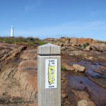
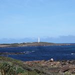
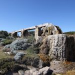
Augusta is the closest town to Cape Leeuwin – the most south-westerly point of Australia, where the Indian Ocean meets the Great Southern Ocean. The coastline is spectacular but also treacherous. Twenty-two ships were wrecked off the coast before a lighthouse was built in 1896. The nearby water wheel was built to pump water from a spring to the lighthouse cottages. Over time, the wood has calcified and the wheel is now fossilised. Instead of driving, you could walk the 135 km Cape to Cape trail. It starts at Cape Naturaliste, West of Busselton and ends at Cape Leeuwin. It’s usually completed in 5 to 7 days.
Cape Leeuwin is also famous for whale watching but despite sitting with binoculars trained for quite some time, there weren’t any migrating past while we were there.
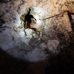
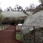
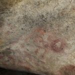
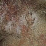
The cave is full of Aboriginal rock art, which is rare in south-west WA. Archaeologists have dated artefacts found there to as far back as 400 years ago.
The hands on the roof of the cave are said to have been made by the giant Mulka who lived there. He had been born cross eyed and couldn’t throw his spear accurately to hunt so he caught and ate children. After he killed his mother, he fled south and was hunted down and killed by the people of the district. They left his body to the ants as they did not want to give him a proper burial.
The Tin Horse Highway, Kulin
The tin horses were created by locals out of farm junk to advertise the town’s annual bush races which take place on the first weekend of October. There are over 30 altogether.
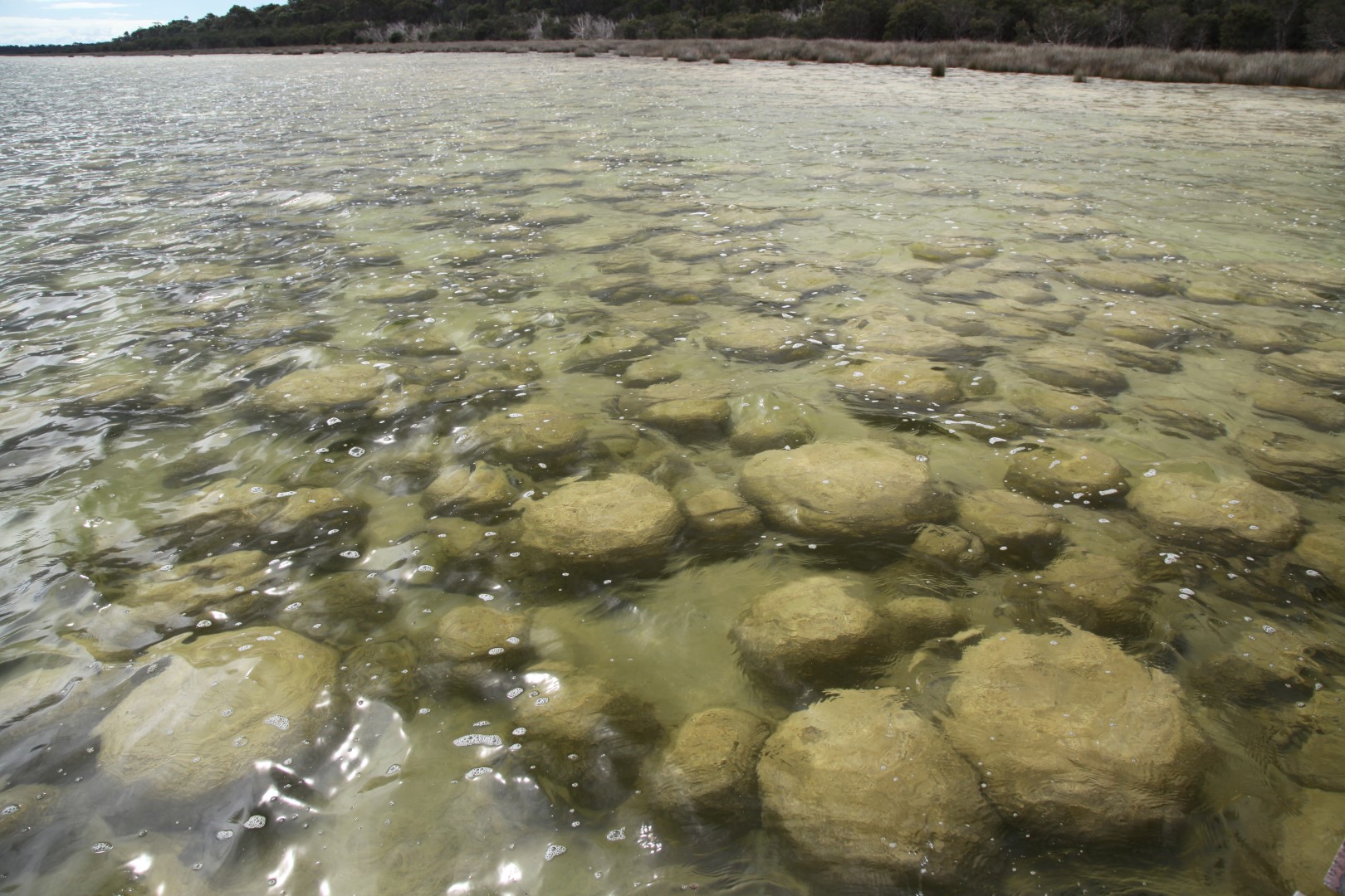
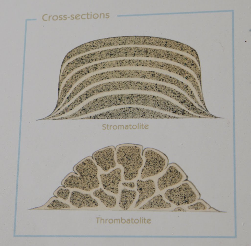
Thrombolites, Lake Clifton. Ancient living fossils.The difference between Stromatolites and Thrombolites.Chilled out roos.